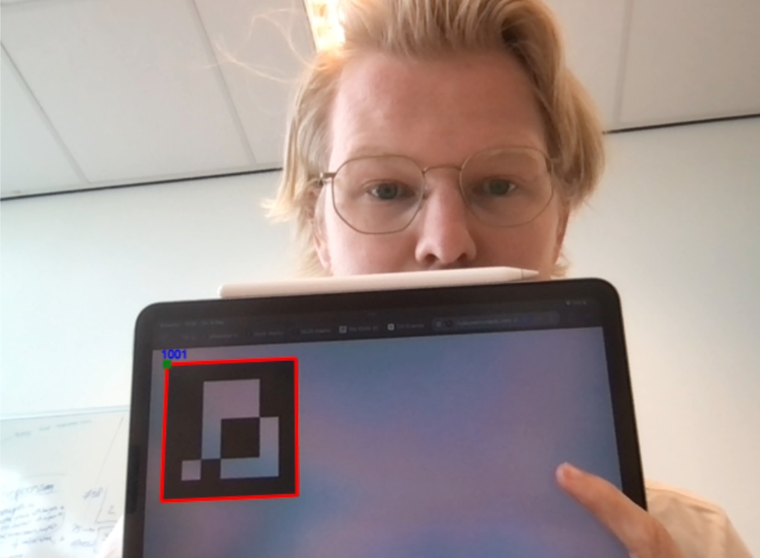
This Lava application is an experiment conducted by PRIME to provide first-year students with a tangible understanding of directional derivatives in the field.
In both physical and digital maps, contour lines are used to represent elevation on a 2-dimensional surface. These lines form bands that indicate areas of constant elevation.
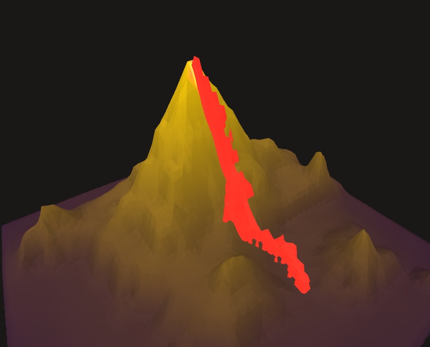
The application consists of two steps. In the first part, we encourage students to unleash their creativity and draw their own contour lines. These lines are then transformed into a 3-dimensional mountain. In the second step, students are tasked with placing turbines in locations they believe will be affected by lava flowing from the mountain's highest point. Students can collaborate and position turbines in different areas to maximise their score.
Lava naturally follows the steepest slope (or the largest directional derivative) downwards. Placing turbines along the path with the greatest downward slope therefore yields the highest possible score. The complexity of the game can be adjusted by the students themselves, as drawing more intricate mountains will result in more challenging predictions of the slopes.
Instructions:
Download template
Download webXR browser
Credits

Abel de Bruijn
Developer: User Interface and Augmented Reality

Rens Dur
Developer: Model Construction and Image Recognition

Pauline Hengst
Developer: Model Construction and Model Graphics

Julia van der Kris
Developer: WebAssembly/deployment and Model Generation

Jonas van Marrewijk
Developer emeritus: Image Recognition

